|
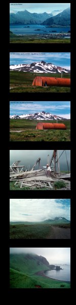
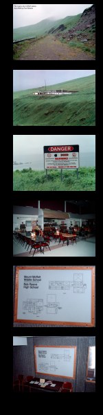
These photographs enlarge to either of two sizes. Click
on the left half of any thumbnail picture to enlarge to about
400 pixels wide, click on the right side to enlarge to 800 pixels
wide.
<Left Column
- Adak Town, view eastward, telephoto.
- The Ski Lodge, view northwest. At one time it had a rope
tow.
- The Ski Lodge, view northwest.
- An old building (what, where?)
- Looking west on the road from the Shotgun (the former Mitchell
Field) to Lake Andrew and Mount Moffett.
- Horseshoe Bay, view west, on the way to the LORAN station.
Right Column>
- Looking east on the north slope of Mount Adagdak, the road
to the LORAN station.
- A view of the old LORAN station on the north tip of Adak
(north tip of Mount Adagdak, also).
- Another bomb warning sign.
- The cafeteria in Bob Reeve High School (I think).
- Site plan of BRHS enlarged and orthogonally corrected from
the next photo.
- Bob Reeve High School site plan (map) and welcome table.
(Click for HUGE version)
|
|